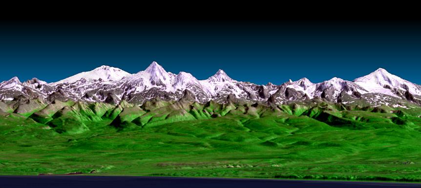
 On Feb. 11, 2000, two radar antennas built by JPL launched aboard Space Shuttle Endeavour on an 11-day mission to create the first-ever near-global high-resolution database of Earth's topography. The international Shuttle Radar Topography Mission collected topographic data over nearly 80 percent of Earth's land surfaces, revealing for the first time large, detailed swaths of Earth's topography previously obscured by persistent cloudiness. The data benefit scientists, engineers, government agencies and the public alike, with applications that range from land-use planning to virtual Earth exploration.
  NASA is currently using Shuttle Radar Topography Mission data to create an even better global topographic map by combining it with the more complete Advanced Spaceborne Thermal Emission and Reflection Radiometer global digital elevation model of Earth released last year by NASA and Japan's Ministry of Economy, Trade and Industry.
Hop aboard as we take you on a virtual tour of some of the more "uplifting" topographic features of our home planet: http://www.nasa.gov/topics/earth/features/srtm/srtm20100211.html.
For more information on the Shuttle Radar Topography Mission, visit: http://www.jpl.nasa.gov/srtm.
- On Approach
- Riding out the Snow Storm Inside Goddard to Carry ...
- Layers Piled in a Mars Crater Record a History of ...
View this site auto transport car shipping car transport


No comments:
Post a Comment